The firm
Everyone in their own program
Schedule and costs live apart, in spreadsheets that aren't linked to the model.

Bring your IFC, LandXML and GeoJSON models into a single 3D viewer, with schedule and cost on every element.
or write to us at contact@bmdata.com.ar
Scroll to lift off

Designers use AutoCAD, Civil 3D, Revit and QGIS; investors, spreadsheets and reports. B&M Data brings the models together with their costs, schedule and progress, all in the browser.
1st place · Project Idea category
21st edition of UNL's International Young Entrepreneurs Conference, “Between two worlds”.
Watch the moment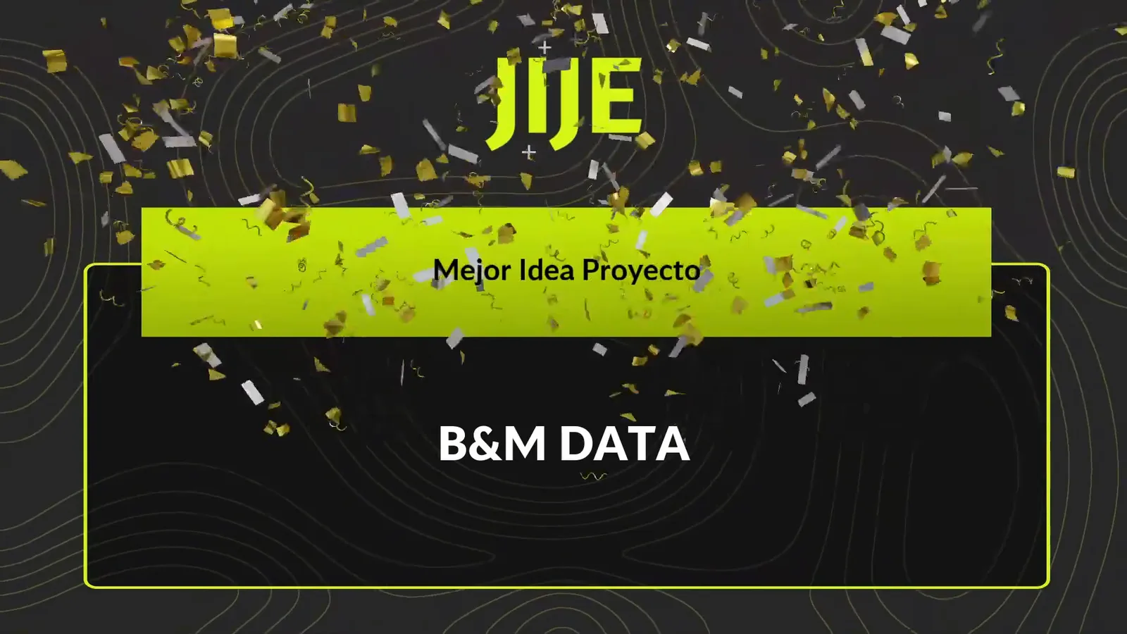
The firm
Schedule and costs live apart, in spreadsheets that aren't linked to the model.
The investor
To know how the project is going, they rely on reports and static documents.
2 out of 3 construction professionals still exchange information by email.
BIM Forum Argentina survey of 1,311 professionals, 2023.
We connect the people who design a project with the people who pay for it.
B&M Data connects a project's technical information with its management information on a single web platform.
B&M DataModel+Land+Management
Costs+Schedule+Progress
01 · Building
Columns, beams and slabs aren't just lines in a drawing: each one stores what was planned and what actually happened.
Revit · IFC
02 · Utilities
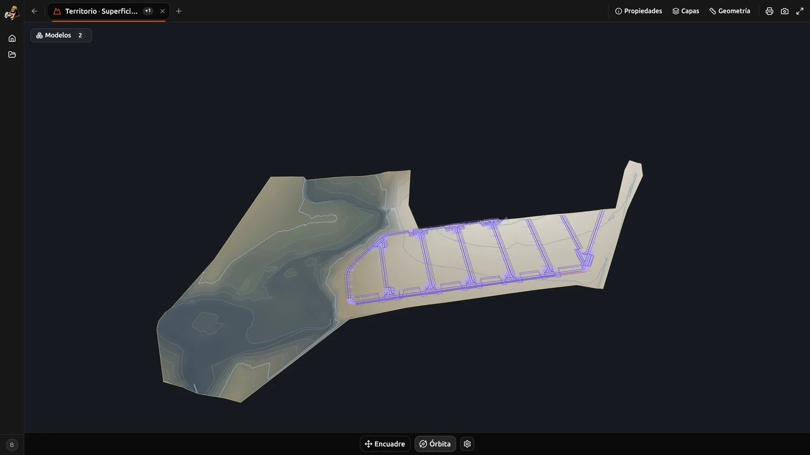
Pipes and foundations in the same scene: you can see whether each pipe runs where it should.
Civil 3D · LandXML
03 · Terrain
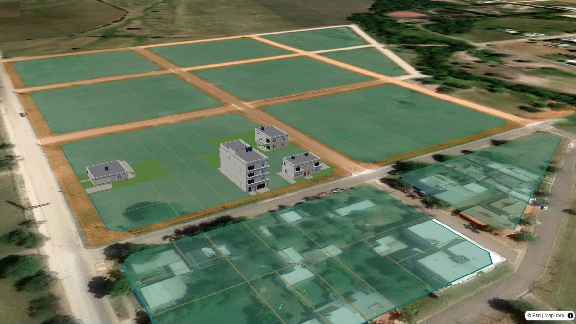
Parcels and lot layout on the terrain, with the information for each lot.
QGIS · GeoJSON
B&M Data already has a working prototype, tested with information and files from real projects.
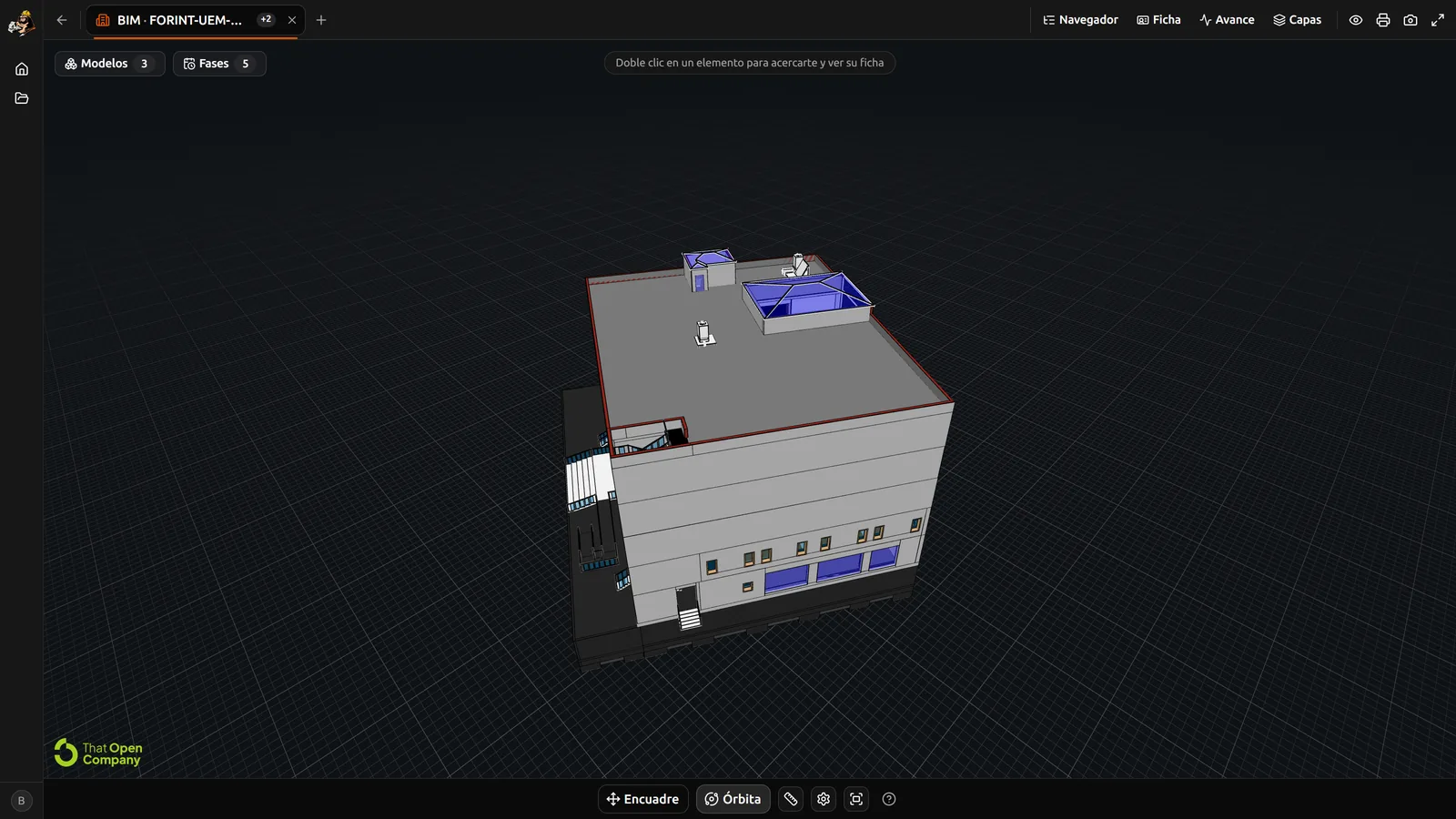
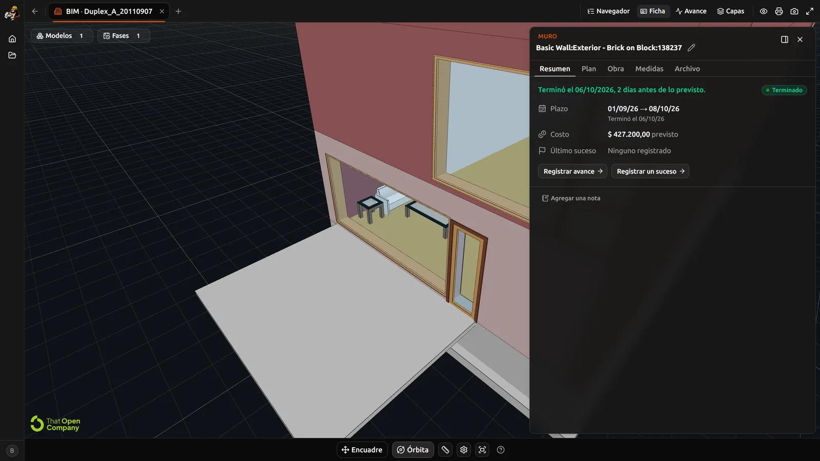
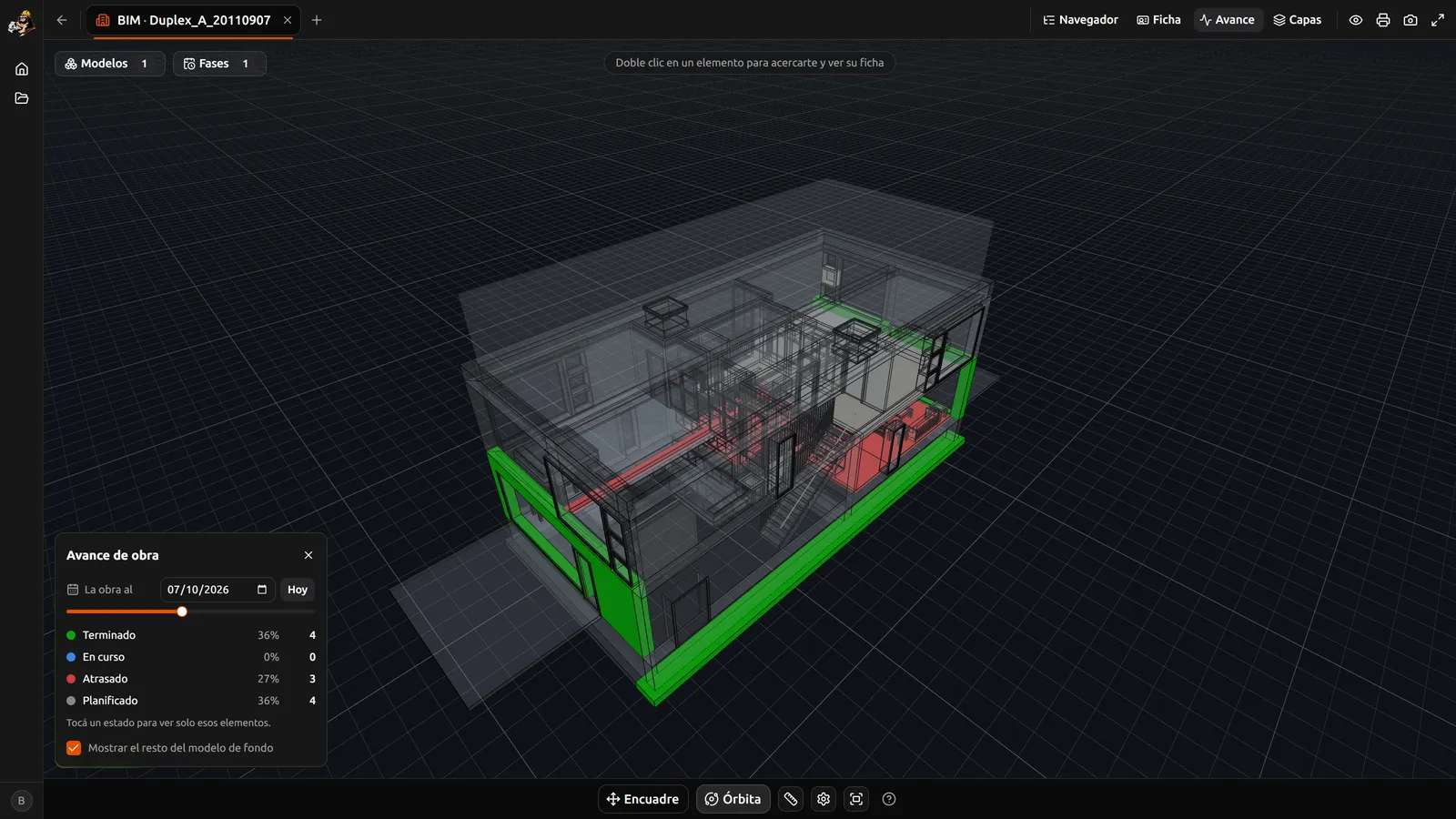
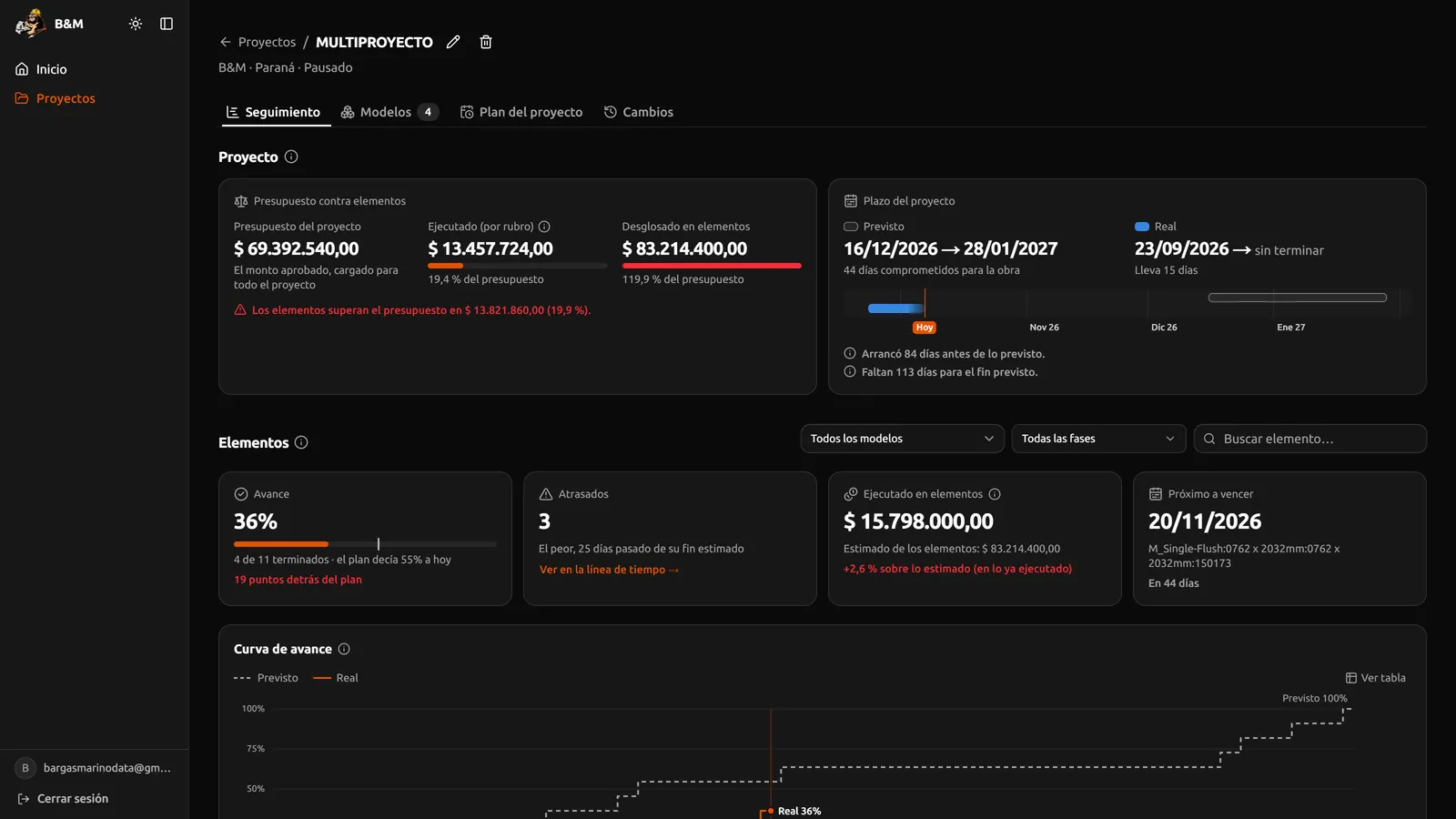
Design where each professional works. Decide from one place.
A viewer is for looking at a model. B&M Data brings the building, the utilities and the lot layout into one project, and adds schedule, cost and progress to every element. A viewer shows you what the project looks like; we show you how it's going.
None of them brings together, on one screen, the models, the QGIS land data and the costs in the structure the firm already uses: trade, quantity, unit and price. And with B&M Data you're not tied to a vendor's decisions.
No. We don't replace AutoCAD, Civil 3D, Revit or QGIS: we connect them. Everyone keeps designing where they work and uploads the files they already use.
The firm does. We work with open formats (IFC, LandXML and GeoJSON), and the original file stays intact so you can download it whenever you want.
No. From the browser they see budget vs. spending, planned vs. actual schedule and the progress curve, with no licenses.
4D BIM adds time to the model: every element has its planned and actual schedule. 5D BIM adds cost: every element has its item, quantity, unit and price. B&M Data does both on the same 3D model, in the browser.
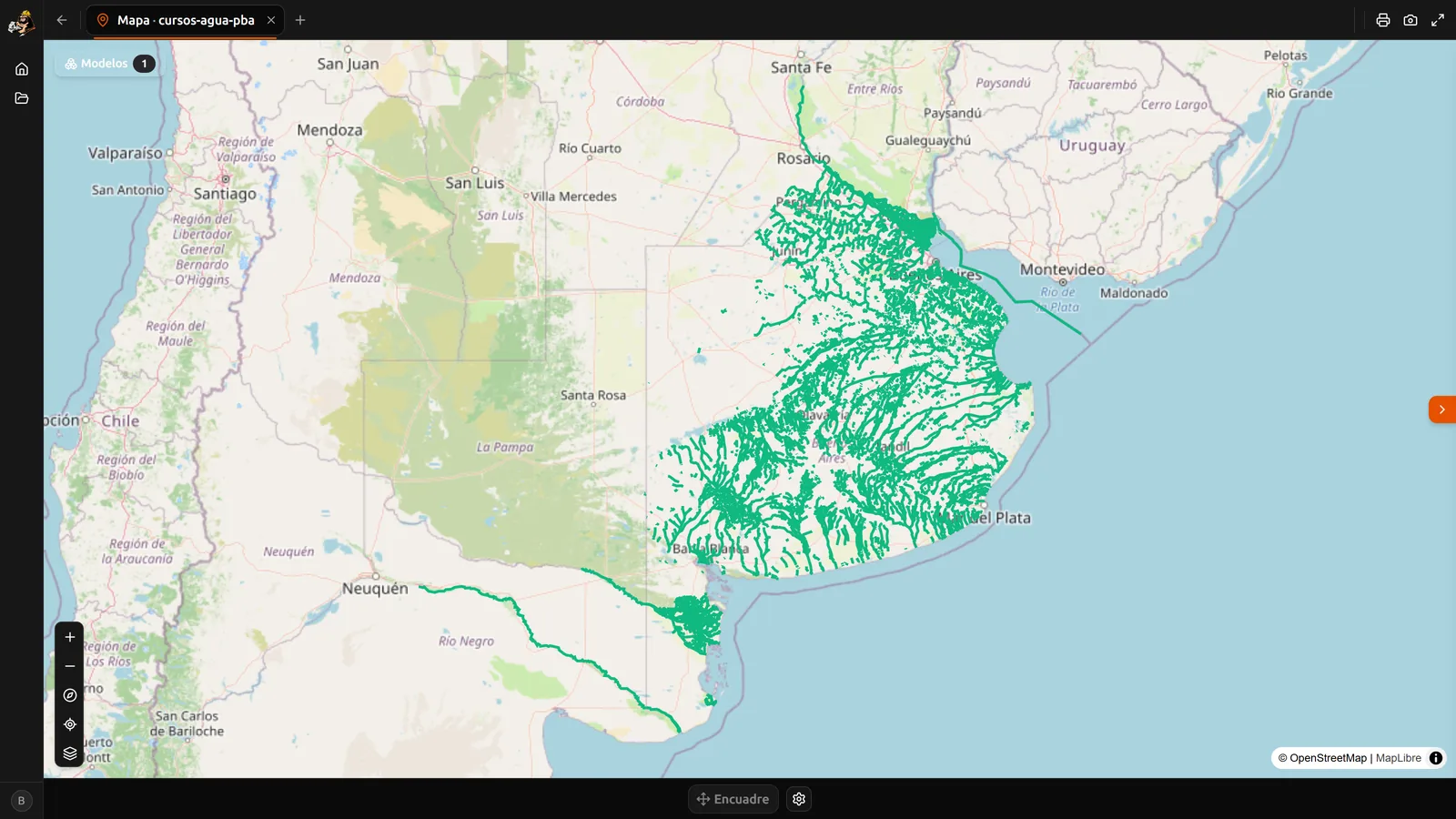
IFC models from Revit or any other BIM tool, LandXML from Civil 3D and GeoJSON from QGIS. They show up together in one 3D scene, over satellite imagery, with nothing to install.
Pilot users
We're looking for engineering firms, contractors and developers who want to try B&M Data with their own files: bring a project and we'll see it working. Write to us at contact@bmdata.com.ar.